Morbi rutrum, elit ac fermentum egestas, tortor ante vestibulum est, eget scelerisque nisl velit eget tellus.
Laser Scanning
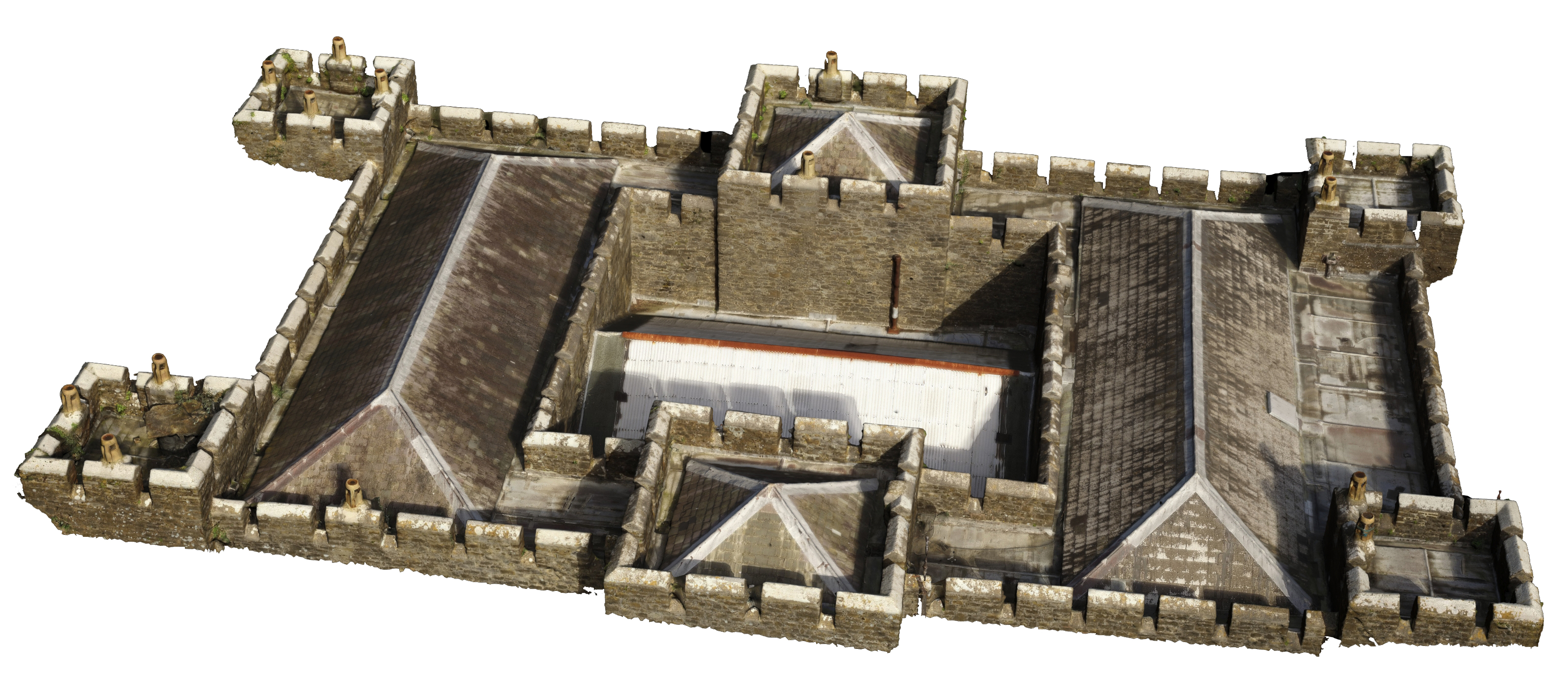
Laser scanning has become the base method of collecting survey data in a fast accurate and comprehensive form. We use Leica C10 and P20 scanners to gather both RGB and intensity based point clouds which can be delivered as a final product or used to produce all forms of survey grade data. Panoramic imagery is often provided as a means to texture the data or as an addition to show the condition of the site fabric.
Visualisations and Building Information Modeling
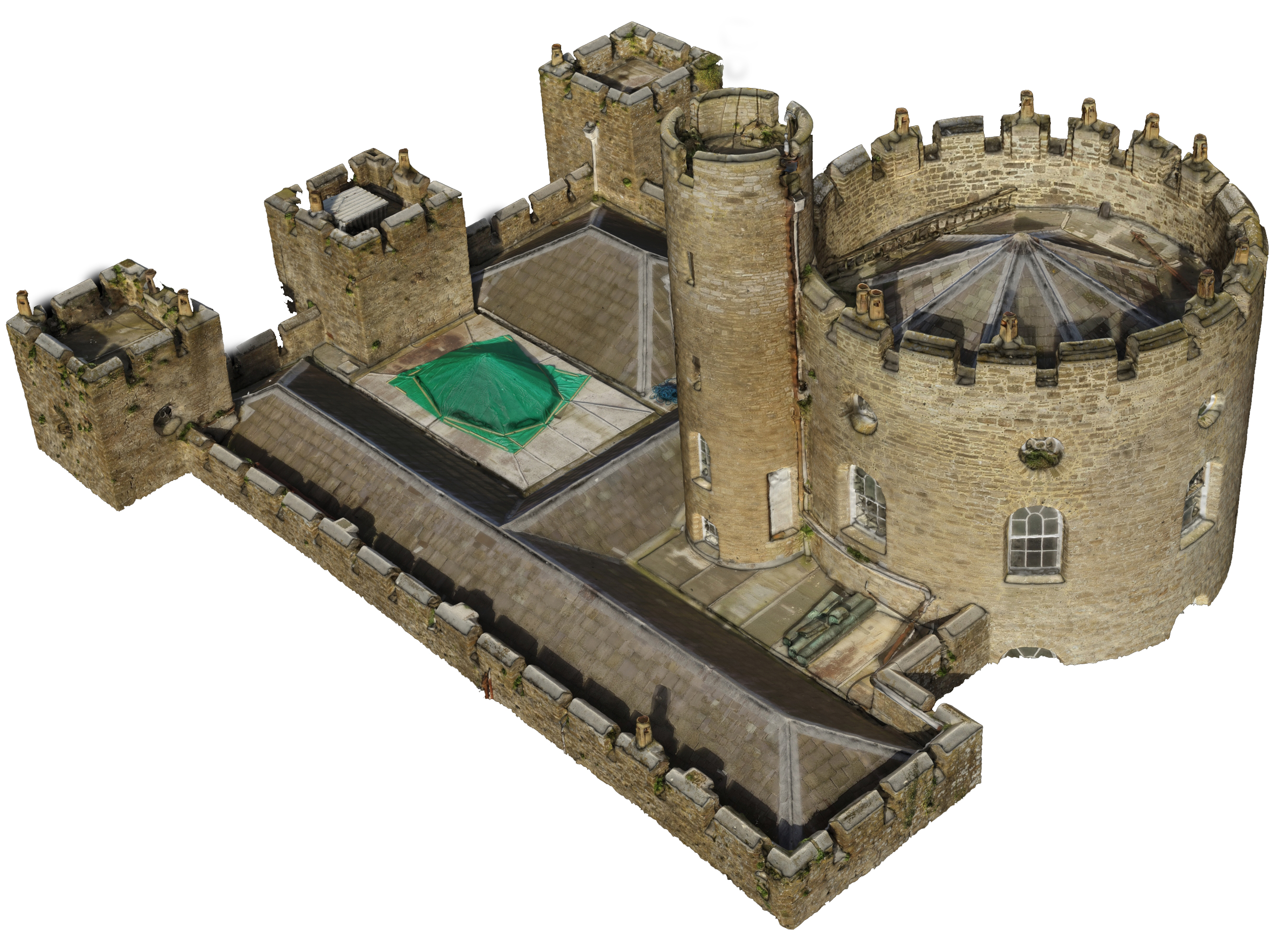
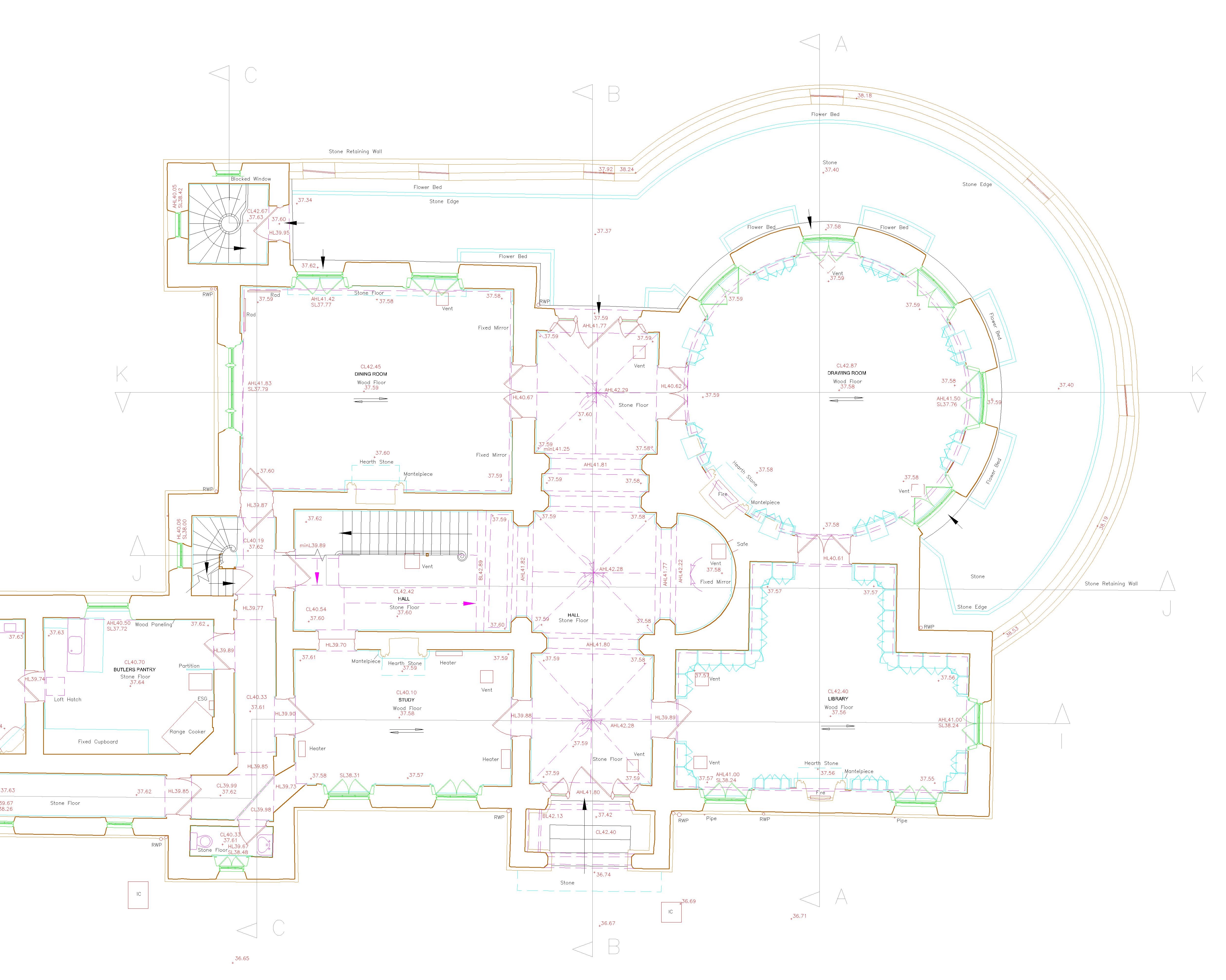
We have been providing models in both mesh and surface form across a broad variety of subjects, to enable conservation, reconstruction and development on a number of projects. Building information modelling is becoming a core deliverable providing a cost effective and flexible deliverable, covering current projects on specific sites and enabling effective management with future projectst. We aim to work with clients to provide a usable deliverable in both 3D form and as a set of 2D drawings for downstream use.
Site Surveys
Record & Rectified Photography
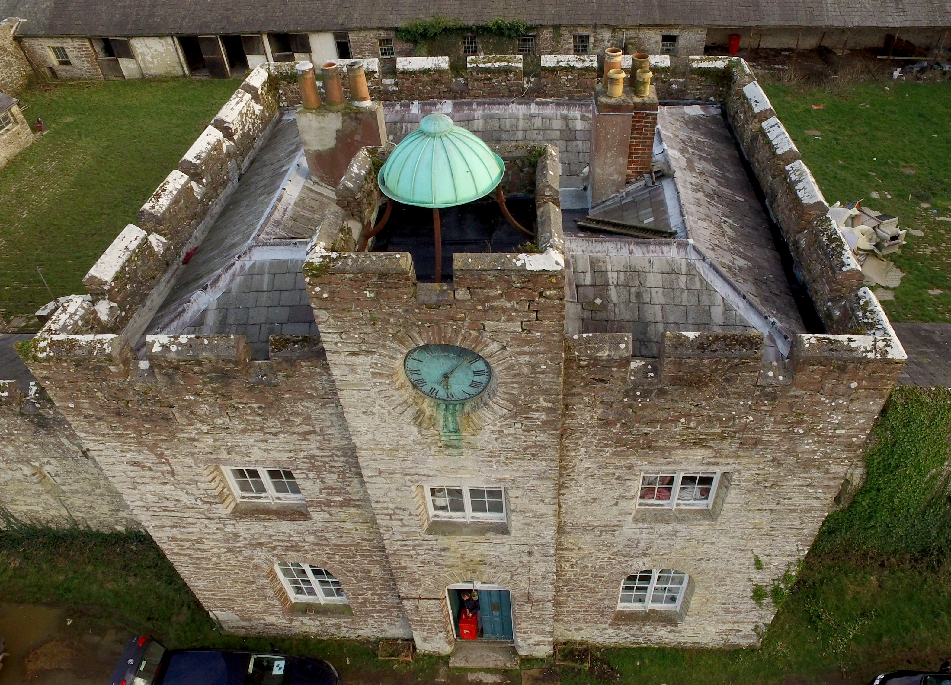
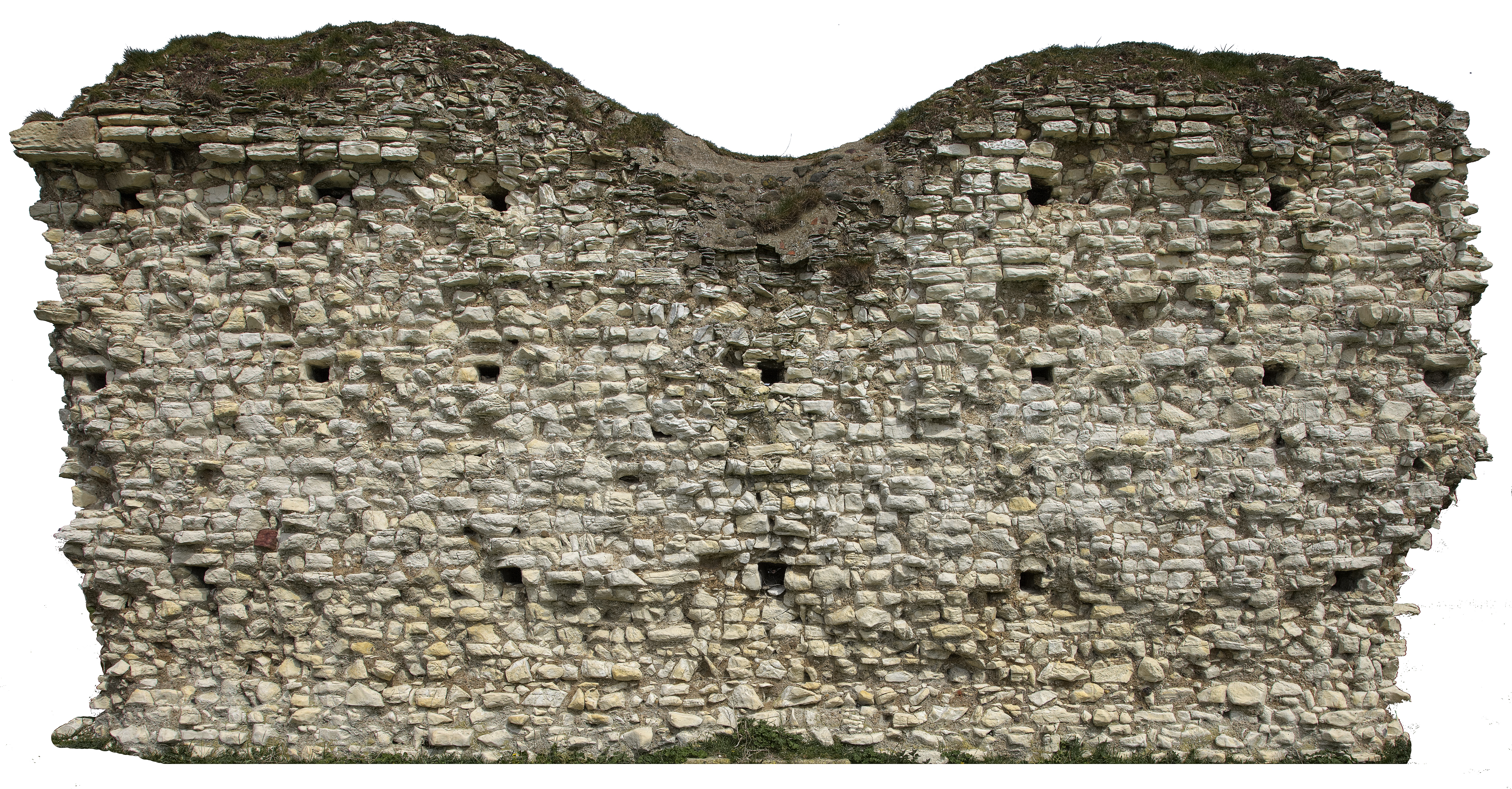
All survey projects benefit from a textural record, this can help to inform on condition and complete the archive. We can deliver record photography to satisfy the English Heritage criteria for site recording in either standard or panoramic form. which can be located via plans or a more interactive tour. We also work with drone based systems to provide a record of more inaccessible areas in either photographic or geometric form. Rectified photography can also be supplied to give a cost effective solution for measurement and condition surveys.
ABOUT
Personal Info
TESTIMONIALS


